Bidspirit auction | The Continuation of the Road
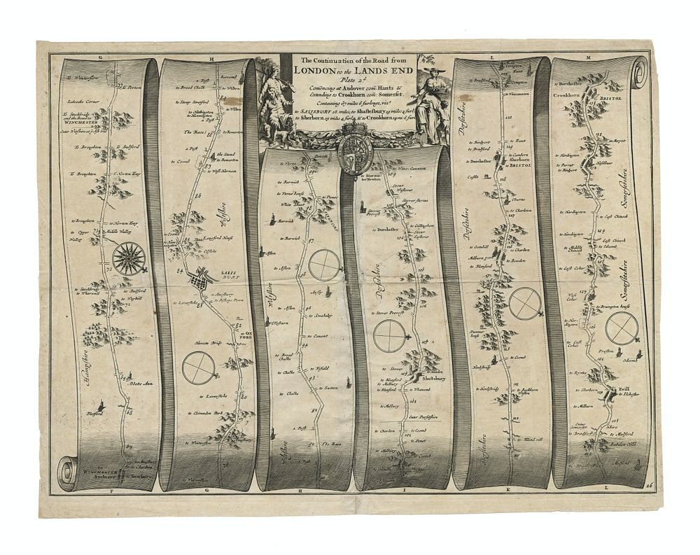
The Continuation of the Road from London to the Lands End by John Ogilby - This is a copperplate engraving from Britannia, Volume the First: An Illustration of the Kingdom of England and Dominion of Wales, published by John Ogilby in 1675. It depicts the continuation of the road from London to Lands End, illustrating the major roads and important locations along the way. Ogilby’s work was revolutionary in providing detailed road maps for travelers, and this map represents one of the earliest British road atlases, a pioneering work in cartography. The map features a detailed depiction of the road from London to the southwestern tip of England, highlighting towns, landmarks, and distances in a unique manner. The use of mile markers, town names, and scenic views helps convey the importance of this travel route during the 17th century. Condition: Signs of wear, with some damage to the centre folds due to the age of the map. The engraving itself is clear and detailed, with some light creases and edge wear typical of maps of this period. Size of Image: 32 x 44 cm (approximately 12.5 x 17.3 inches). Keywords: John Ogilby, Britannia, road maps, British road atlas, cartography, historical maps, London to Lands End, 17th-century map, geography, British travel, English roads, vintage map, historical cartography, 1675, English maps.