Bidspirit auction | Map of London Metropolitan Boroughs
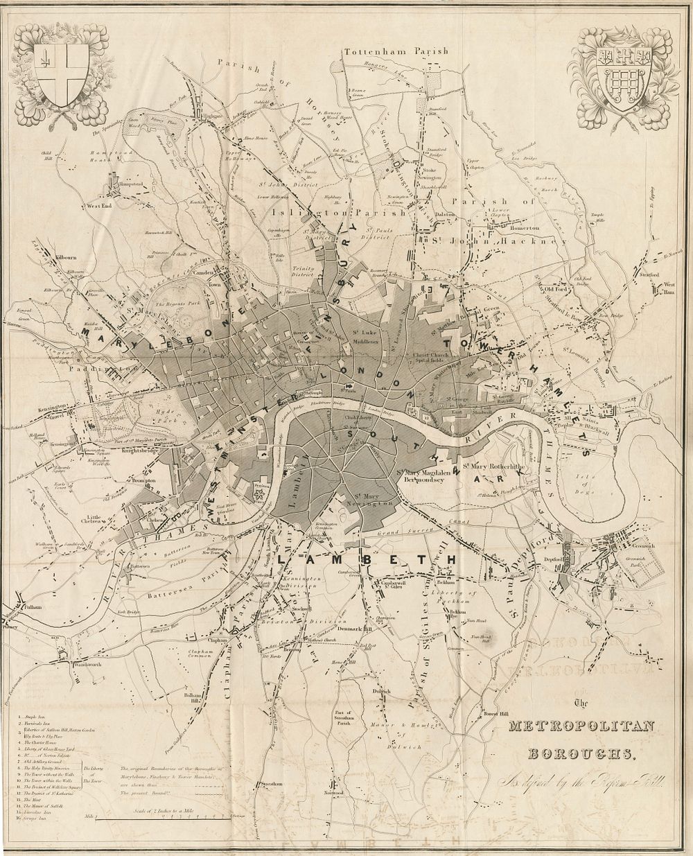
Map of London Metropolitan Boroughs After the Electoral Reform Bill (1831-32) - This antique map, titled The Metropolitan Boroughs As Defined by the Reform Bill, was created after the passing of the Electoral Reform Bill of 1831-32, which established the metropolitan boroughs of London. The map covers a broad area from Tottenham in the North to Streatham and Norwood in the South, and from West Ham and Greenwich in the East to Fulham and Kensington in the West. It shows the original boundaries and contrasts them with the present-day boundaries of Marylebone, Finsbury, and Tower Hamlets. The arms of London are depicted at the top left, and the arms of Westminster appear at the top right. This map is a historical record of the changes brought about by the reform, providing valuable insight into the urban development of London during the early 19th century. Great for collectors of maps of London, borough of London, environs of London. Condition: Margin on the left missing with some discoloration. Size: 61.5 x 49.5cm (24.2 x 19.5 inches).