Bidspirit auction | Collection of 6 Old Land
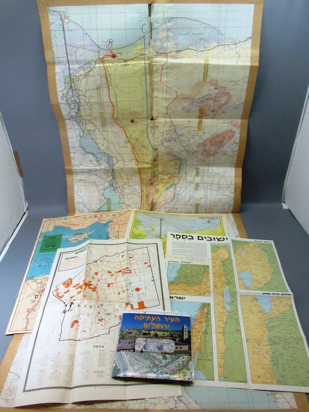
Collection of 6 Old Land of Israel Maps - Collection of 6 Old Land of Israel Maps, includes: 1. Map of the Suez Canal from the period of Israeli control of the Sinai Peninsula, circa 1970s, in the Arabic language with marker pen markings in the English language: roads in Israeli use, roads in Egyptian use, UNEF forces and more, folding marks, tears to the length of the folding marks, 104X65 cm, 2. Map of the Eastern Mediterranian Basin, the campaign for the Sinai Peninsula, 29.10.1956-5.11.1956, Arieli Print, Tel Aviv, 50X35 cm, 3. The Ceasfire Line October 1973, published by the Chief Education Officer, double-sided map, on its other side a map of the Sinai Peninsula, 50X35 cm, 4. Border Settlements: Ramat Hagolan, The Jordan Rift Valley, Beit She'an, The Upper Galilee, Karta Publishing, April 1970, 5. The Old City of Jerusalem 1:2000, ”Ad Or” Publishing, second edition, June 2009, 68X68 cm, 6. Map of Old Jerusalem edited by Yech. Ya'ad, 34X49 cm. Wear and tear and time damages to some.