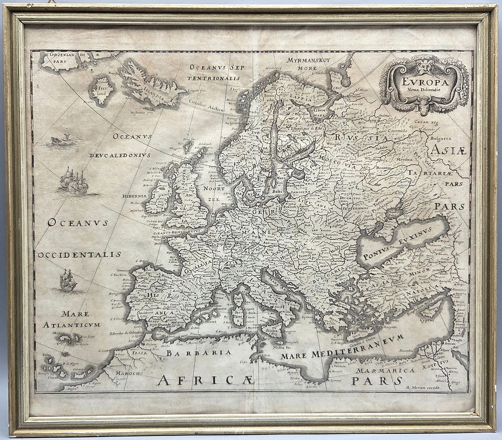
Bidspirit auction | antique engraved map ”Continent of
antique engraved map ”Continent of Europe” by Matthaus Merian the Elder - 17th century - antique engraved map ”Continent of Europe” by Matthaus Merian the Elder, Frankfurt Germany, 17th century, based on earlier works by Blau. The map was originally published in Frankfurt in 1641. This is a simpler, less ornate version, reflecting the beginning of the developing trend in cartography to focus more on topography and less on ornamentation. In the west and northwest the map covers Greenland, Iceland, and the ghost island of Friesland. The British Isles are depicted along with all of continental Europe including Scandinavia. The map extends eastward to include Anatolia and the Levant. Russian territory extends northeast to Tartary. The islands of the Mediterranean and North Africa are included. The map features minimal ornamentation, including sea animals and ships at sea. Dimensions: 33X38 cm. Framed under glass in a silver-plated wooden frame (late 20th century). In very good overall condition for its age: yellowing and light stains. * Matthaus Merian the Elder (1593-1650) initially studied art and engraving. He studied in Zurich, Paris, Stuttgart and the Low Countries, and then moved to Frankfurt where he met and married the daughter of Johann Theodor de Berry, a well-known engraver and publisher. Upon the death of his father-in-law, he took over the business and began publishing travel books and maps. He was also known as one of the leading German book illustrators of the seventeenth century.