Bidspirit auction | Palestine Illustrated from Ancient Monuments
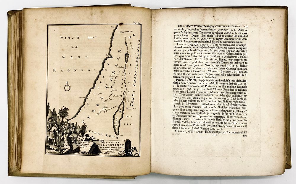
Palestine Illustrated from Ancient Monuments - Two Volumes with Maps of Palestine and Engravings - First Edition 1714 - Hadriani Relandi: Palaestina ex Monumentis Veteribus Illustrata. Guilielmi Broedelet, Trajecti Batavorum, 1714. Reland (1676-1718) Dutch cartographer, and considered one of the first European Orientalists. In this book, in its first edition, he described and mapped the peoples of the Bible and the ancient geography of the Land of Israel. Includes an engraving and nine maps, four of which are fold-outs. Parchment bindings. Latin (with sections in Greek, Hebrew and Arabic), 1,068 pp. + index, 25X20 cm. Good overall condition, light wear to the bindings, the first volume's spine is detaching on the inside.