Bidspirit auction | Large, Folding Map of Palestine
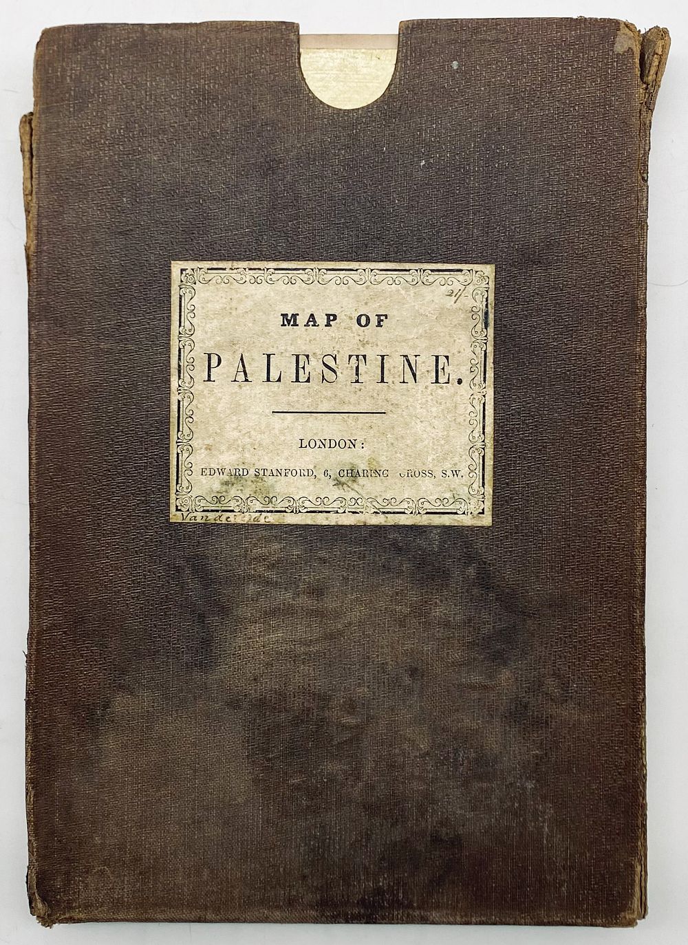
Large, Folding Map of Palestine - Van de Velde - London, 19th Century - Stanford's New Series of Large Library Maps: Map of Palestine . Constructed C. W. M. van de Velde. London: Edward Stanford. Undated, probably late 19th century. Large, folded map, glued to canvas, in a box. Charles William Meredith van de Velde (1818-1898) was a Dutch cartographer, naval officer, landscape painter and missionary. One of the first members of the Red Cross. Known for the series of maps he painted, including a map of Palestine and Jerusalem. 136X90 cm. The map is in good condition, the box has wear and tears. Attached is the booklet: Notes on the Map of the Holy Land. Gotha: Justus Perthes, 1865. English, 48 pp., 22X14 cm. Fair condition: stains and wear.