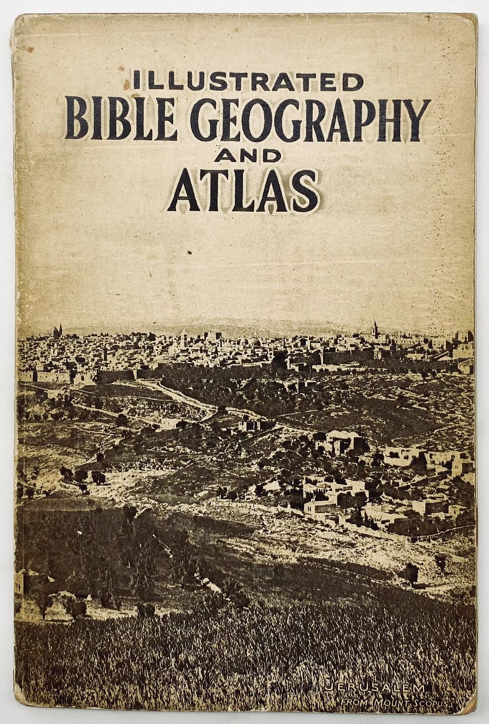
Bidspirit auction | Illustrated Bible Geography and Atlas
Illustrated Bible Geography and Atlas - 1930s - by Major C. R. Conder. London and New York: Collins' Clear-Type Press, [1936]. Includes 14 color maps and 32 photographs of sites in Palestine, including Rachel's Tomb, the Jordan River, the Bethlehem Road, the Tower of David, Tiberias, Safed, and more. English, 20X13 cm. The pages are in good condition, with stains; the binding has wear and tears on the spine.