Bidspirit auction | Emory - Map of Western
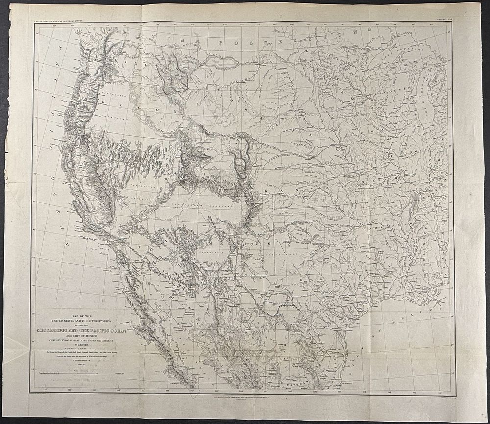
Emory - Map of Western America [Map of the United States & their Territories between the Mississippi and the Pacific Ocean and part of Mexico] - This steel engraved map is from William H. Emory's Report on the United States and Mexican Boundary Survey. Made Under the Direction of the Secretary of the Interior . The work was published in 1857 by Cornelius WendellWashington, D.C. This is one of the foundational works exploring the Texas-Mexican border. Emory surveyed the area after the Gadsden purchase. The work featured contributions by James Hall, T. A. Conrad, and maps from Jekyll and Hall. Many of the views were after drawings by Schott, Weyss, and Vaudricourt. Paper Size: ~ 26” by 22 1/2” (Fold Out) Paper Type or Special Features: Steel Engraving