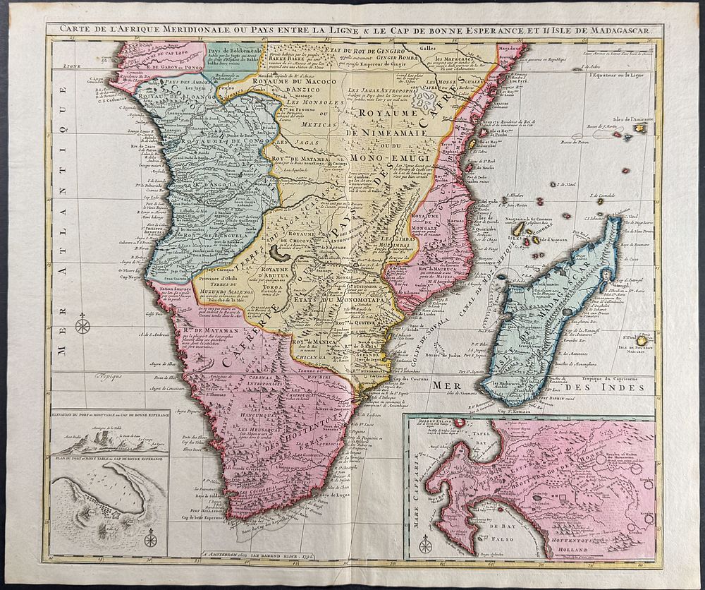
Bidspirit auction | Elwe - Map of Southern
Elwe - Map of Southern Africa & Madagascar - This first edition, originally hand-colored map is from Jan Berend Elwe's Atlas . The work was published in Amsterdam for the author circa 1792. The frontispiece from the work was engraved by I. van Munnikhuyse after L. Webbers. Most of the maps available from the atlas are dated 1792. Many of the maps appear to be directly influenced by R. & I. Ottens atlas. (Koeman p. 105) Paper Size: ~ 25” by 21 1/4” (Fold Out) Paper Type or Special Features: Originally Hand-colored Engraving