Bidspirit auction | Arrowsmith, Large Wall Map -
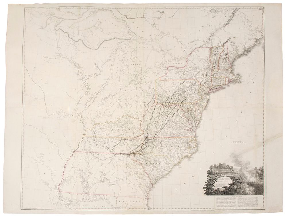
Arrowsmith, Large Wall Map - A Map of the United States of North America Drawn from a number of Critical Researches… - This stunning wall map is Aaron Arrowsmith's A Map of the United States of North America Drawn from a number of Critical Researches... The map was published in London in 1802 [but 1808]. This important wall map was first published in 1796 and updated in 1802. This is the third state of the map with Arrowsmith's address notated as ”10 Soho Square.” The engraving is on watermarked 1808 paper. He greatly improved upon the 1796 map with the latest town names and geographical discoveries available at the time. The map was noted for its early appearances of the Michigan Territory and Ohio. Lewis & Clark consulted this map on their expedition. It was published shortly after the Louisiana purchase. It also has a beautiful vignette of Niagara Falls. Aaron Arrowsmith (1750-1823) was an English cartographer and engraver. He founded one of the leading London map publishing houses. He first worked as a surveyor for John Cary with his road surveys being included in Cary's Travellers' Companion in 1790. ”Aaron Arrowsmith, Hydrographer to the King of England and Geographer to the Prince of Wales, was the most influential and respected map publishers of the first quarter of the nineteenth century ... His role in cartographic production was to gather the best information available from a wide variety of sources, weigh the relative merits of conflicting data, and compile from this the most accurate depiction possible of an area. ” (Martin & Martin, p. 113) Paper Size: ~ 50” by 58 1/2” (Fold Out Engraved Maps, Joined Sheets) Paper Type or Special Features: Engraved Map on Four Sheets Joined with Original Hand-coloring in Outline, Backed with Linen