Bidspirit auction | Jefferys - Important Early Map
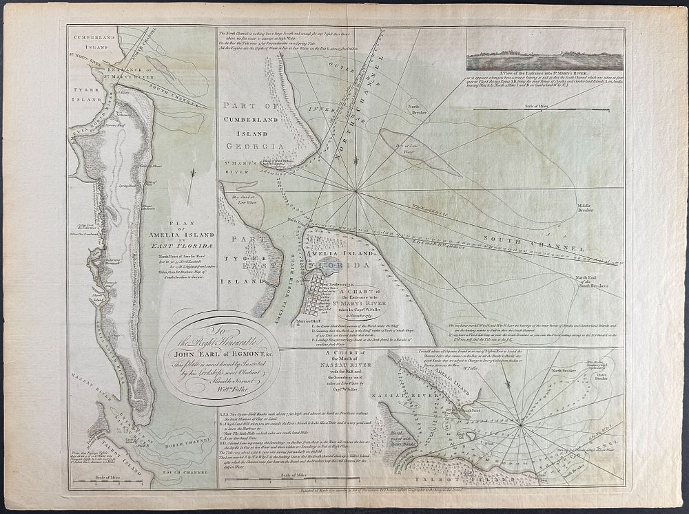
Jefferys - Important Early Map of NE Florida (Plan of Amelia Island in East Florida...) - Full Title: Plan of Amelia Island in East Florida [and] A Chart of the Entrance into St. Mary’s River taken by Capt. W. Fuller in November 1769 [and] A Chart of the Mouth of Nassau River and the Soundings on it taken at Low Water by Captn. W. Fuller) Description of the work: This rare, historic map is Thomas Jefferys's Plan of Amelia Island in East Florida [and] A Chart of the Entrance into St. Mary's River taken by Capt. W. Fuller in November 1769 [and] A Chart of the Mouth of Nassau River and the Soundings on it taken at Low Water by Captn. W. Fuller. The map was published in London in 1770 by Thomas Jefferys. Thomas Jefferys was an important cartographer of the early American landscape. His map incorporated the surveys conducted by sea captain, William Fuller. It is also derived from William Gerard de Brahm's important early map of South Carolina and Georgia created in 1757. The map was created when East Florida became a British Colony that was ceded by Spain at the end of the Seven Years War in 1763. The map shows sea charts of Amelia Island in northeastern Florida. Thomas Jefferys (1719-1771) was a leading English cartographer. He produced some of the most significant maps of the English / American colonies. He was the appointed Geographer to the Prince of Wales and eventually to the King (1761). His official appointments granted him access to some of the very best surveys and were often considered ”official work” for England. Robert Sayer and John Bennett were Jefferys successors and compiled this 1776 edition of The American Atlas. Paper Size: ~ 22” by 26 1/8” (Fold Out) Paper Type or Special Features: Engraving with Original Outline & Wash Color