Bidspirit auction | Blaeu & De Wit -
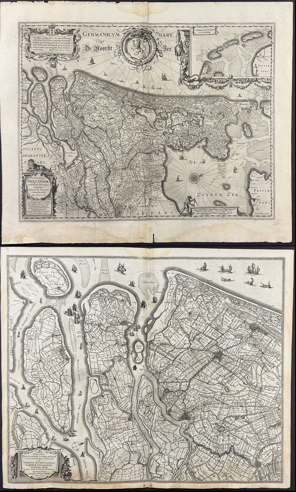
Blaeu & De Wit - 6 Maps of the Netherlands or Holland & Flanders, Belgium - Description for Blaeu: This historic map is from a composite atlas. It is from Willem Janszoon Blaeu & Joan (Johannes) Blaeu and published in Amsterdam between the 1640s and 1660s. Willem Janszoon Blaeu (1571-1638), Jan’s father, founded the famous Blaeu cartographic firm in Amsterdam. He studied astronomy and science under Tycho Brahe. He established a globe and instrument making business in 1599 which soon expanded into cartography publishing. It became one of the most important publishing firms in the world that was also later run by his sons Cornelis and Jan. Their maps are noted for their fine engraving process, coloring, and design and are often referred to as “the highest expression of Dutch cartographical art.” He also served as the official cartagropher for the Dutch East India Company in 1630. Joan (Johannes) Blaeu (1596-1673) began the publication of the Nuevo Atlas in 1659 and would eventually change the title to Atlas Mayor. It was to be his most famous atlas, and was meant to include up to 13 volumes, but only 10 volumes were ever completed as his printing house was destroyed by fire. He was also noted for the publication of the atlas Theatrum orbis Terrarum. Provenance: Coat-of-arms bookplate of the Austrian-Bohemian noble family von Harrach Description for De Wit: This remarkable folio engraving from a composite atlas of maps from Frederick De Wit. It was published in Amsterdam after 1688. De Wit published composite atlases using plate stock of his own and other Amsterdam map publishers. This included maps from the likes of Hondius, Bleau, and Visscher. ”The De Wit composite or 'dual-purpose' atlas is an early example of an atlas planned at its outset to serve as a land and a sea atlas in one. Koeman lists these works according to the number of maps and by and large this progression gives a fair idea of their development and therefore dates, beginning in the early 1660s. But he acknowledges it is not accurate and often subject to revised opinion. The index is quite unlike any of those listed in Koeman.” (Wardington Catalogue) Frederik De Wit (1629-1706) created a leading publishing firm in Amsterdam during the golden age of Dutch cartography. He was a catographer and mapseller that was best known for his atlases and his Dutch town maps. After De Wit's passing his wife, Maria, ran the shop for a few years before selling. At this point, most of his plates went to Pieter Mortier. Paper Size: ~ 22 1/4 - 23 1/2” by 19 - 20 1/2” (Fold Out) Paper Type or Special Features: Engraving