Bidspirit auction | Chatelain - 8 Engravings of
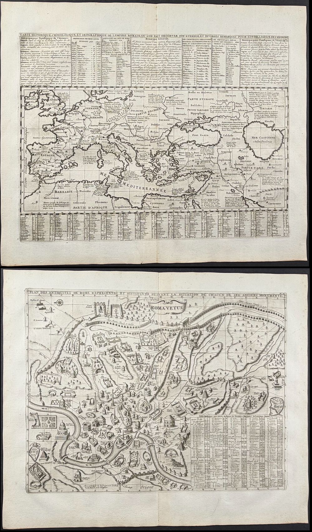
Chatelain - 8 Engravings of Italy, Rome, Vatican, Mediterranean - Included in this lot: Map of the Mediterranean Sea Map of Rome, Italy Roman Emperors Map of Italy with Sardinia, Corsica, & Sicily Map of Rome, Italy St. Peter's Basilica, Election of Popes in Conclave Map of Rome Lineage Charts for Royal Families of Naples & Sicily, Inset of Map of Sicily & Naples Description of the work: This historic engraving is from Henri Abraham Chatelain's Atlas Historique . The work was published by the author in Amsterdam between 1718 and 1720. The text was compiled by Gueudeville & Garillon. The maps were completed by Chatelain some influenced by Guillaume de l'Isle's work. The work was published in several editions, and the second edition was the first to include additional maps not found in the first including a map of the world, Americas, Europe, Asia, and Africa. Atlas Historique was a highly ambitious and groundbreaking work covering genealogy, cosmography, topography, heraldry, and chronology. It was intended for the general public and the increased fascination with the recently conquered colonies and the new discoveries. Chatelain's maps are an outstanding example of the golden age of French mapmaking. Henri Abraham Chatelain (1684-1743) was a Huguenot or protestant pastor originally from Paris. He was the son of a wealthy Parisian merchant who brought the Spanish use of gold and silver stitching to Paris. He would become best known as a Dutch cartographer and his publication and of Atlas Historique which included numerous maps and engravings depicting geography, history, ethnology, heraldry, and cosmography. Paper Size: ~ 20 1/2” by 16 7/8” (Fold Out); Map of Italy ~ 26 5/8” by 17” (Fold Out) Paper Type or Special Features: Engraving