Bidspirit auction | SEA CHART - [RIO JANEIRO]
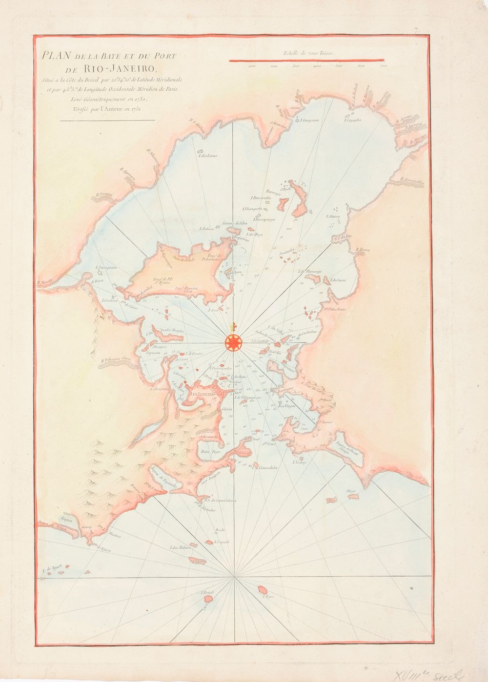
SEA CHART - [RIO JANEIRO] - Plan de la Baye et du Port de Rio-Janeiro Cont. handcol. map (51.5 x 35 cm), after de Mannevillette, Jean (Paris, c. 1775) in Le Neptune Oriental This important, early chart of the harbor shows Rio Janeiro in block plan form. All islands and coastal features with many soundings and anchorages are depicted. Across from Rio at the mouth of the Guanabara Bay is a lake named Lagoa de Pirate Ningo. Fine compass rose with fleur-de-lys and rhumb lines embellish this copper-engraved chart. Shirley (BL Atlases) M.APR-1c