Bidspirit auction | [SEA CHART ENGLAND]
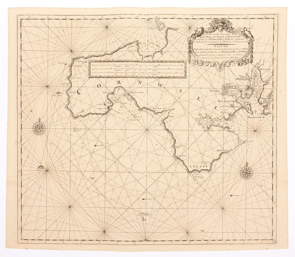
[SEA CHART ENGLAND] - A new gradually encreasing Compass-Map of the West side of England, extending from Falmouth to St. Ives Sea chart (52 x 58.5 cm) by Van Keulen (Amsterdam, 1728). We add: 'Plan du port de Plymouth', for Depot de la Marine, An XII, 61 x 47 cm + 'Carte topographique des Pays et Côtes Maritimes qui forment le Détroit de Gibraltar', cont. handcol.sea chart (44 x 70 cm) by Beaurain (Paris, 1700) (3)