Bidspirit auction | FERRARIS
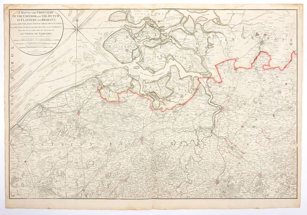
FERRARIS - A map of the frontiers of the Emperor and the Dutch in Flanders and Brabant, including the greatest part of these two countries, with the Isles of Zealand, the mouths of the Scheldt from the survey made under the direction of le Comte de Ferraris Kopergravure (60 x 95 cm), grensgekleurd. London, Faden, 1789. Zeer gedetailleerde kaart met o.a. de zandbanken voor Vlaamse kust. Gevouwen, goede staat